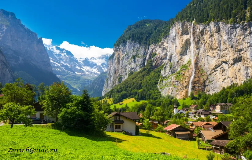
Hiking in Switzerland
65,000 kilometres of marked paths, a signpost system that tells you the time rather than the distance, and colours that mean something specific.
Switzerland has about 65,000 km of marked walking paths — a denser network than the road system — and it is maintained, signposted and mapped to a standard that makes walking here easier than almost anywhere.
Two things make it work, and both are worth understanding before you set off.
The signposts tell you the time, not the distance
Every junction has yellow signs giving destinations and walking times in hours and minutes, not kilometres. The times assume an adult of average fitness walking steadily without long stops, and they are calculated from the gradient as well as the distance.
They are accurate. If a sign says 2 h 15, that is what it takes. Plan with them rather than with your own estimate.
The colours are a grading system
This is the part visitors miss, and it matters:
Yellow — Wanderweg, a hiking path. Ordinary walking shoes, no exposure, no difficulty. Anyone can do these.
White-red-white — Bergwanderweg, a mountain path. Steep, sometimes narrow, may cross snowfields or have short exposed sections with chains or handrails. Needs boots with ankle support, sure-footedness and a head for heights.
White-blue-white — Alpinwanderweg, an alpine route. May involve glaciers, climbing sections and route-finding. Needs mountaineering experience and equipment. This is not a walking path.
The markings are painted on rocks and posts along the route. If the colour changes and you are not equipped for it, turn round — a red-white path in wet weather is a different proposition from the same path dry.
Good day walks
Easy, spectacular:
- Lauterbrunnen valley floor — flat, 3 km, a dozen waterfalls. Anyone.
- Männlichen to Kleine Scheidegg — an hour and a quarter, almost level, with the Eiger, Mönch and Jungfrau in front of you the whole way. The best effort-to-view ratio in the country.
- Five Lakes Walk above Zermatt — two hours from Blauherd, five lakes, three of which reflect the Matterhorn.
- Lavaux — Lutry to St-Saphorin through the vineyard terraces, three hours, with trains at both ends and wine in between.
Harder:
- North Face Trail from Mürren — a couple of hours on the shelf under the Eiger’s north wall.
- Trümmelbach to Grütschalp — a proper climb out of the Lauterbrunnen valley.
- Hörnli hut from Schwarzsee above Zermatt — the route the Matterhorn climbers take to sleep before an attempt.
Multi-day: the Via Alpina, the Haute Route to Chamonix, and the Tour du Mont Blanc which clips Swiss territory. All need planning and hut bookings.
Huts and mountain inns
The Swiss Alpine Club runs 150-odd huts, from simple shelters to substantial buildings with a warden and cooked dinner. Book ahead in summer; they fill.
Lower down, Bergrestaurants and Alpwirtschaften serve food along most popular routes, which means you rarely need to carry lunch on a day walk.
Safety
The mountains here are well organised, which lulls people. The things that actually go wrong:
- Weather turning. Check the forecast on meteoswiss the morning of the walk, not the night before. Afternoon thunderstorms in summer are routine and dangerous above the treeline.
- Starting too late. The last lift down is usually mid-afternoon and the timetable is not negotiable.
- The wrong footwear on a red-white path.
- Snow lying on high routes well into July, which turns a walking path into something else.
Emergency number in the mountains is 1414 (Rega, air rescue) or 112. Rescue is not free and travel insurance that covers mountain rescue is worth having.
Getting to the start
Almost every trailhead in Switzerland is reachable by public transport — post buses go to valley heads and lifts run up the sides. See getting around, and check the last departure back before you commit to a route.
SwitzerlandMobility publishes every marked route with maps, times and profiles, free on the web and in an app. It is the tool locals use.
Updated: